Kuala Terengganu is the state capital of Terengganu. Located in the east of Peninsular Malaysia, Kuala Terengganu commands a strategic position in the south-east Asia. Internationally, it is closer to Cambodia and Vietnam by sea. During the Vietnamese war in the 1970's, many refugees from Vietnam came to Terengganu shores seeking a third country. Today, Kuala Terengganu is one of the largest towns in the east coast.
I am showing you the scenes of rural areas in Kuala Terengganu. I think they are nice environment, and still sustainable.
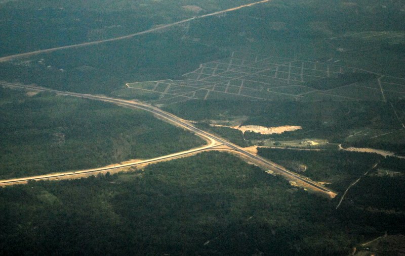
The East Coast Highway under construction.

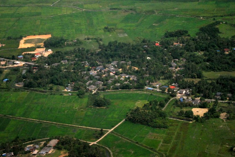
The rural villages near Kuala Terengganu.
Land had been cleared for development.

The houses are clustered in a village surrounded by paddy land.

The paddy land was converted for housing use and a school.

The Nerus River and river side villages of Petai Bubus.
This last image is the image of urbanisation process in Kuala Terengganu. The urban skyline of this town is shown at the centre of this picture. Happy travel.


No comments:
Post a Comment