Terengganu is one of the States in Malaysia located on the east of Peninsular Malaysia. It has 200km long coast and its beaches are superior with white sand and lovely panorama. The white sand and casuarina trees are the trademarks of Terengganu beach. These beaches run parallel to coastal road from Kuantan to Kuala Terengganu that made it interesting to look at. We call this stretch of road as the scenic drive of Terengganu.
This scenic drive involves areas around Kemasik, Paka, Dungun, Marang (Kelulut), Chendering and Batu Buruk in Kuala Terengganu. If you want to enjoy the beauty of these areas, you need to stop, relax, have refreshment and take pictures. Each spot has food stalls and rest area, even you can have a picnic there.
The entrance to Kemasik Beach.
Kemasik Beach with rocks.
The blue South China Sea and the rock outcrop made a perfect picnic area.

The fisherman's boat being parked at the stream. Further up. there are many boats too.

The park is meant for the visitors. The red roof is the restaurant.

Playground at the park.
Six pictures of Kemasik beach give a beautiful illustration of the beach. It is scenic with its blue water. You can relax here. A lot parking spaces are provided and you can drink and eat too.
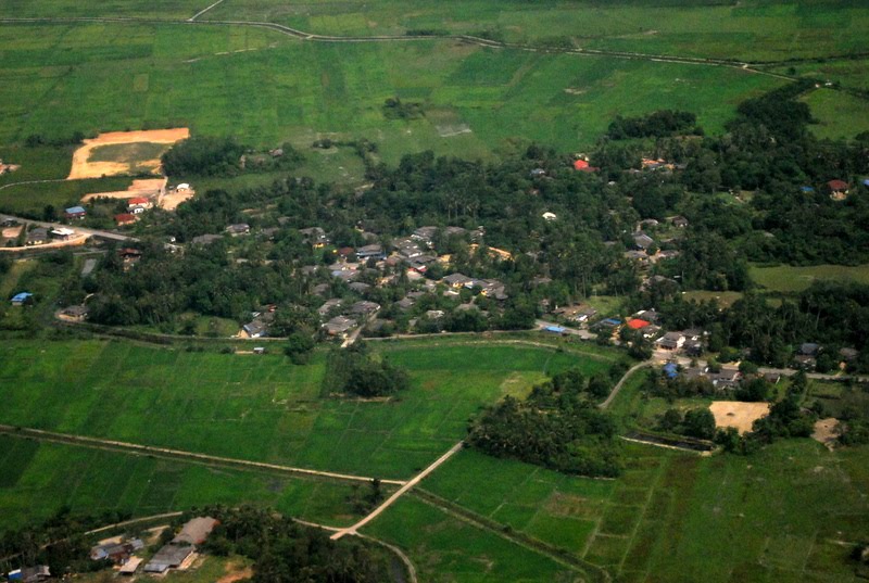
Next stop is Paka. If you are driving from Kuantan and you reach Paka town. Before you reach the bridge, turn right to visit the fisherman village nearby. You will see a few shops dealing with dried fish, salted fish and other fish by-product. I found this area is interesting when I got the chance to communicate with the locals.
The Paka beach and the sea.
The man with a big fish smiling at me.
The Paka fisherman happily pose for the picture.
The fisherman's boats are docked at the Paka River bank. This river flows to the sea.
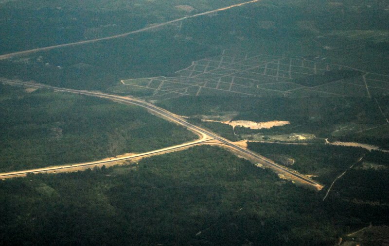
When you have finished looking at this village, proceed to Dungun, another 20 km. When you reach a traffic light after the Petronas Gas Station, do not turn left, go straight to another traffic light and turn right and follow the road leading to Universiti Teknologi MARA (UiTM). There you are. You will see the another beach. The long stretch of road will bring you to the town centre without a single traffic light.

This beach in Dungun suffers coastal erosion and now is being strengthen. The view is still nice.
There is no building between the road and the beach. Therefore you can view the sea without any obstruction. On the left you will notice a few chalets and other kind of tourist lodgings (one notable hotel is UiTM Hotel, the teaching hotel), a few food courts facing the sea, and schools. If you feel thirsty, you can stop and take a rest and sip the coconut juice.
The natural Dungun beach at the end of beach road.
Dungun river estuary, a view from the bridge.
Seberang Pintasan (opposite Kuala Dungun), a view from the bridge.
The river waterfront of Kuala Dungun.
After driving this long coastal road, you will reach the town of Kuala Dungun (the estuary of Dungun river). You need to turn left and take a bridge toward Tanjung Jara. Tanjung Jara has a 5-star resort with a beautiful, traditional Malaysian architecture. The resort receives patrons from overseas due its class. You may stop and visit.
After you left Tanjung Jara, go to the main road again and turn right. There, you are on the coastal road again leading to Kuala Terengganu. You will notice further 5km north, Rantau Abang, a once popular turtle landing site. Nowadays, you can hardly find these turtles landing on this beach. 40 years back, Rantau Abang beach is very popular with tourists who wanted to watch turtles lay their eggs. Their eggs were sought after in the markets. The government is discouraging the people from consuming those eggs through continual campaigns. You can stop here. This area had been gazetted by the government as turtle sanctuary. It has a small turtle "museum". You can notice its building from the road. You will not miss it.
Driving can be fun if you take a relaxing attitude and not to rush. The allowable speed is 90 kph only. At certain intervals, you can stop at the petrol stations to fill your tank. Once you past Rantau Abang, you can find an elongated wetlands on the right towards the sea. This wetland is actually lagoons developed naturally to protect the land from the sea waves. You will also notice road side stalls on the road reserve (both sides), people selling steam corn and groundnuts at Kampung Pasir Puteh.
Then after 25 minutes, you will reach Kelulut beach in Marang. You will find many food courts either on the sea side or on the left of the road. You can stop here and enjoy the scenery. You will notice Pulau Kapas (an island).
Coconut trees portray a tropical country. Pulau Kapas (island) is at the back.
Coconut trees without fruits.
Bring your mat and you can lie on your mat. Take a deep breathe, inhale the free oxygen. This can rejuvenate your energy. This area is not congested as other beach. You can buy many handicrafts and fish by-product like keropok and fish crackers.
Ibai River that flows into the sea. This picture is taken from the Ibai bridge. Both sides of the banks have big open spaces for the people to relax and recreate. For example, the right bank has a few football fields for the public.
Scenic Ibai River and the bridge connecting Chendering and Kuala Ibai (to the left).
Next stop is Chendering and Batu Buruk beach. These beaches attract many people due to its close proximity to the town centre. For Chendering beach, you can not see from the road. You have to go in, turning right to Fisheries Complex in Chendering and again turn left. The small road will lead to coastal traditional villages. If you can not find the way out, reverse back from where you start. When you cross the bridge on Ibai River, look right, you will see the Ibai Estuary, one of the beautiful spots to snap the picture.
The Floating Mosque at Kuala Ibai.
The "floating mosque" is next to it. You may continue driving to the mosque and relax there. Adjacent to the mosque is a large public park and the Terengganu Equesterian Resort (TER). Equesterian Resort has meeting and sports facilities. It is also houses many riding horses. The final destination is of course Batu Buruk beach, the famous beach of all the beaches in Terengganu.
If you intent to drive this road and stop the locations that I have suggested, you need at least 6 hours. Happy travelling.